Maps of Žiželice (Louny District)
 1830|Marco Berra
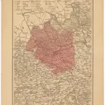 1875|Wagner, Jan Eduard1:220 000
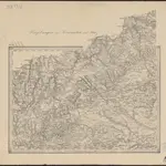 1869|K.k. Militaerisch-geografischen Institute
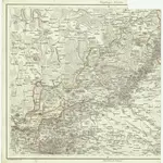
 1847|K. u. k. Militärgeographisches Institut
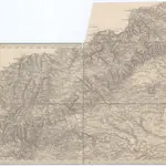 1869|K. k. militär-geographisches Institut1:750 000
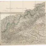 1845
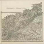
1845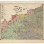 1867|Reuss, August Emanuel von
Old maps of Žiželice (Louny District)
Discover the past of Žiželice (Louny District) on historical maps
Old maps of Žiželice (Louny District)
Discover the past of Žiželice (Louny District) on historical maps
Looking for a Google Maps API Alternative?