Maps of Łask County
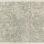 1874|Militärgeographisches Institut1:300 000
 1875|Stieler, Adolf1:740 000
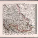
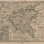
 1840|Weiland, Karl Ferdinand1:798 000
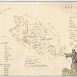 1832|Mensdorff-Pouilly, Arthur von
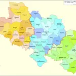 1864|Kunz, Andreas ; Moeschl, Joachim Robert
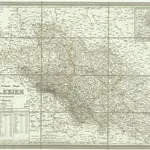
 18581:1 850 000
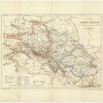 1863|Leeder, Ehrenfried1:950 000
Old maps of Łask County
Discover the past of Łask County on historical maps
Old maps of Łask County
Discover the past of Łask County on historical maps
Looking for a Google Maps API Alternative?