Maps of Searcy County, Arkansas
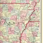 1863|FISHER, Richard Swainson.
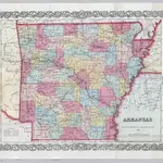
 1859|Colton, J.H.1:530 000
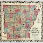
 1855|Colton, J. H.1:1 055 600
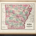 1873|Gray, O.W.1:1 330 000
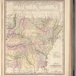 1836|Tanner, Henry S.1:1 700 000
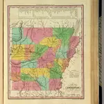 1836|Tanner, Henry S.1:1 700 000
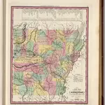 1841|Tanner, Henry S.1:1 700 000
Old maps of Searcy County, Arkansas
Discover the past of Searcy County, Arkansas on historical maps
Old maps of Searcy County, Arkansas
Discover the past of Searcy County, Arkansas on historical maps
Looking for a Google Maps API Alternative?