Maps of Borek (Prague-East District)
 1861|Wagner, Jan Eduard1:72 000
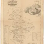
 1861|in Commission bei Karl André1:72 000
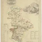 1861|in Commission bei Karl André1:72 000
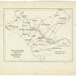 1850
1850 18201:250 000
 1872|Schöpfer, A.1:95 000
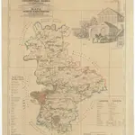
 1861|in Commission bei Karl André1:72 000
Old maps of Borek (Prague-East District)
Discover the past of Borek (Prague-East District) on historical maps
Old maps of Borek (Prague-East District)
Discover the past of Borek (Prague-East District) on historical maps
Looking for a Google Maps API Alternative?